Log in
All resources
Create a design
4,886 Free Images of Map Lichen
bibliothèque nationale de france
john rocque
john rocque's 1748 map of london and adjacent country
remigius parr
map of bruges by marcus gheeraerts (i)
marcus gheeraerts the elder
philippe de la rué
drawings in the groeningemuseum
etching print
groeningemuseum
key sheet of the turgot map of paris
maps of paris from paris musées
1747 persia map by emanuel bowen
1740s maps of georgia
brazilian paintings in the museu antônio parreiras
textile and oil painting on canvas
john rocque's 1746 map of london
maps of woolwich
steinfels collection
engravings of bern
demolished churches in de barbari map
sant'angelo (venice)
demolished churches in de barbari map
sant'agostin (venice)
brazilian paintings in the museu antônio parreiras
textile and oil painting on canvas
maritime history of india
sailing ships of india
curt teich postcard archives
map postcards
curt teich postcard archives
afton, oklahoma
postcards of oklahoma county, oklahoma
curt teich postcard archives
map of maastricht by willem and johannes blaeu (1649)
atlas beudeker
map of the circle of westfalia by sanson
louis cordier
1698 map of evesché de meaux
robert cordier (engraver)
america
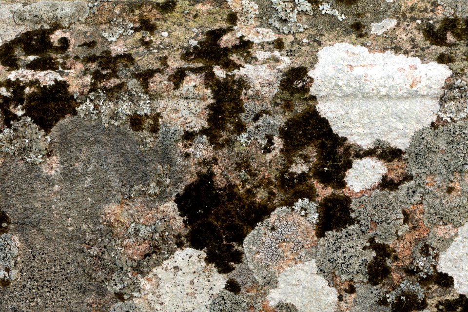
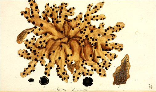
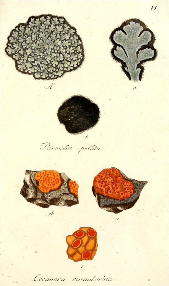
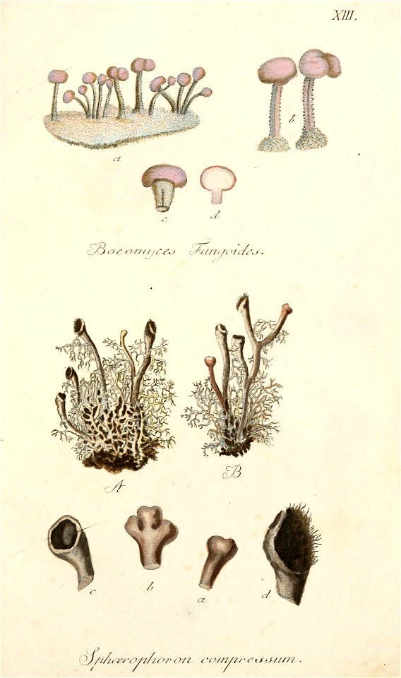
lichen
america
lichen
america
lichen
map of paris by truschet and hoyau - derivatives files
église saint-sulpice on old maps
coats of arms of sweden and poland (personal union)
details of sigismund's map of moscow
turgot map of paris, kyoto university library – derivative files
chapelle saint-éloi (paris)
reconstructions of old maps
german renaissance
reconstructions of old maps
german renaissance
jodocus hondius ii, nova totius terrarum orbis geographica ac hydrographica tabula, 1636
eran laor cartographic collection
plants in lysekil municipality
self-published work
hendrik van langren map of south asia
1590s maps of the levant
maps in the rijksmuseum amsterdam
johannes blaeu - map of antwerp
1890s maps of ethiopia
fra mauro map details
prints in the stadsarchief amsterdam
map of amsterdam, 1544
david rumsey historical map collection
maps of rügen by eilhard lubinus
atlas des anciens plans de paris by imprimerie nationale, 1880 from bhvp
dheulland map of paris
curt teich postcard archives
map postcards
atlas des anciens plans de paris by imprimerie nationale, 1880 from bhvp
dheulland map of paris
map of the circle of upper saxony by sanson
1700s maps of saxony
john rocque's 1748 map of london and adjacent country
remigius parr
map of modern syria by philippe de la rué
bibliothèque nationale de france
john rocque's 1748 map of london and adjacent country
remigius parr
map of modern syria by philippe de la rué
bibliothèque nationale de france
map of europe by nicolas and guillaume sanson (1669)
1680s maps of europe
map of modern syria by philippe de la rué
bibliothèque nationale de france
1650s maps of the world
age of discovery
map of bruges by marcus gheeraerts (i)
drawings in the groeningemuseum
turgot map of paris, kyoto university library – derivative files
église saint-sulpice on old maps
turgot map of paris, kyoto university library – derivative files
foire saint-laurent
truscott map of st-petersburg 1753
engraved maps of saint petersburg
map of bruges by marcus gheeraerts (i)
drawings in the groeningemuseum
map of bruges by marcus gheeraerts (i)
drawings in the groeningemuseum
map of bruges by marcus gheeraerts (i)
drawings in the groeningemuseum
map of bruges by marcus gheeraerts (i)
drawings in the groeningemuseum
map of bruges by marcus gheeraerts (i)
drawings in the groeningemuseum
18th-century maps of crimea
1780s maps of ukraine
maps of paris from bibliothèque nationale de france
ludovic baschet
map of bruges by marcus gheeraerts (i)
drawings in the groeningemuseum
turgot map of paris, kyoto university library – derivative files
plans of the musée rodin
turgot map of paris – derivative files
maison du temple (paris)
map of bruges by marcus gheeraerts (i)
old maps of sluis
history of greenwich (district of london)
john rocque 1746 london map (a1-h3)
the annals of the voyages of the brothers zeno (1898)
fra mauro map derivative works
maps of the ottoman empire by mercator-hondius
eran laor cartographic collection
john rocque's 1746 map of london
northumberland house
17th-century double hemisphere world maps
mercator 1587 world map
1730s maps of the americas
1730s maps
hoogheemraadschap rijnland map, 2nd edition, 1687
gemeenlandshuis zwanenburg in art
fra mauro map details
1459 maps
john rocque's 1748 map of london and adjacent country
remigius parr
john rocque's 1748 map of london and adjacent country
remigius parr
fra mauro map derivative works
l’homme et la terre tome 4
turgot map of paris, kyoto university library – derivative files
collégiale saint-honoré
john rocque's 1748 map of london and adjacent country
remigius parr
historical images of hoher markt (vienna)
engravings of vienna
john rocque's 1748 map of london and adjacent country
remigius parr
john rocque's 1748 map of london and adjacent country
remigius parr
john rocque's 1748 map of london and adjacent country
remigius parr
map of ancient armenia by philippe de la rué
bibliothèque nationale de france
old submaps of paris 1er arrondissement
plans of the palais-royal
john rocque's 1748 map of london and adjacent country
remigius parr
john rocque's 1748 map of london and adjacent country
remigius parr
john rocque's 1748 map of london and adjacent country
remigius parr
john rocque's 1748 map of london and adjacent country
remigius parr
john rocque's 1748 map of london and adjacent country
remigius parr
john rocque's 1748 map of london and adjacent country
remigius parr
map of ancient armenia by philippe de la rué
bibliothèque nationale de france
john rocque's 1748 map of london and adjacent country
remigius parr
turgot map of paris – derivative files
église saint-jean-en-grève
maps in the library of congress
1769 maps of europe
old submaps of paris 2e arrondissement
rue louis-le-grand (paris)
john rocque's 1748 map of london and adjacent country
remigius parr
john rocque's 1748 map of london and adjacent country
remigius parr
john rocque's 1748 map of london and adjacent country
remigius parr
john rocque's 1748 map of london and adjacent country
remigius parr
map of ancient assyria by philippe de la rué
bibliothèque nationale de france
map of ancient armenia by philippe de la rué
bibliothèque nationale de france
theatre geographique du royaume de france (1632)
mercator 1587 world map
map of the circle of bavaria by sanson
pierre moullart-sanson
curt teich postcard archives
map postcards
map of maastricht by willem and johannes blaeu (1649)
statenkwartier (maastricht)
1667 sanson map of africa
maps by nicolas sanson
maps in the amsterdam museum
1667 sanson map of africa
postcards of aircraft
map postcards
postcards of claremore, oklahoma
curt teich postcard archives
2501 - 2600 of 4,886
Next page
/ 49


![[Reproduction of the terrestrial globe (orbis imago) by Jean Stabius, 1515] (Facsimile reproduction)](https://cdn.creazilla.com/illustrations/10000450806/reproduction-of-the-terrestrial-globe-orbis-imago-by-jean-stabius-1515-facsimile-reproduction-sm.jpg)
![[Reproduction of the terrestrial globe (orbis imago) by Jean Stabius, 1515] (Facsimile reproduction)](https://cdn.creazilla.com/illustrations/10000781714/reproduction-of-the-terrestrial-globe-orbis-imago-by-jean-stabius-1515-facsimile-reproduction-sm.webp)